Township of North Dumfries
New Official Plan and Cultural Heritage Landscape Project
The Township is preparing a new Official Plan to provide a vision and planning framework through 2056. The new Official Plan will replace the current Plan and the Region of Waterloo Official Plan. The Township has a current population of approximately 12,500 and is projected to double in size over the next 25 to 30 years.
The Official Plan will build on the Township’s long-term vision for growth with a renewed focus on a consolidated Township urban growth area and protection of prime agricultural lands and key natural heritage features.
Running in parallel
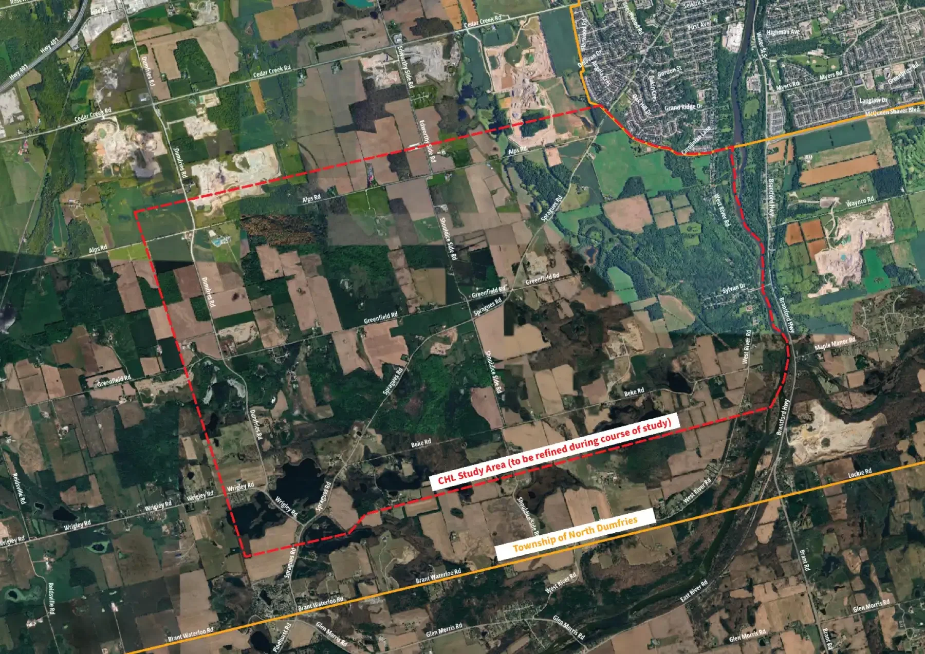
The Spragues Road District Cultural Heritage Landscape (CHL) Study is being completed in parallel with the new Official Plan and will determine whether the identified Study Area demonstrates cultural heritage value or interest and, if warranted, provide a clear basis for conservation, management, and implementation through the Township’s Official Plan.
The study will examine the Spragues Road District as a cultural landscape, considering the relationships among natural systems, agricultural and other land-use patterns, settlement history, circulation routes, views, built features, Indigenous presence and knowledge and community memory, the study will understand the area as a living and evolving landscape shaped by layered relationships between people and place over time.